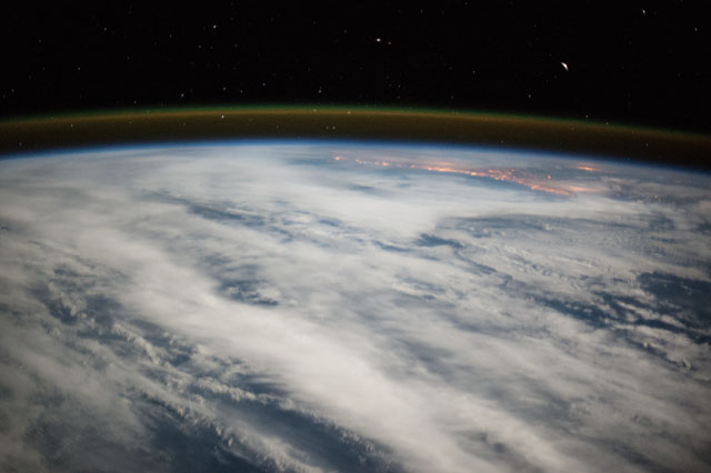
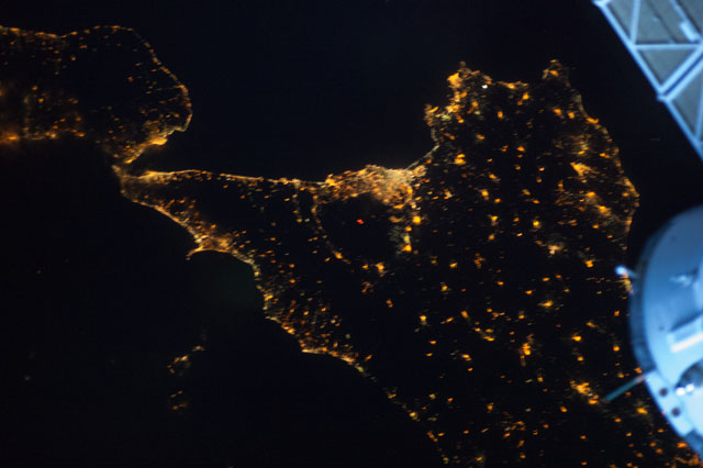
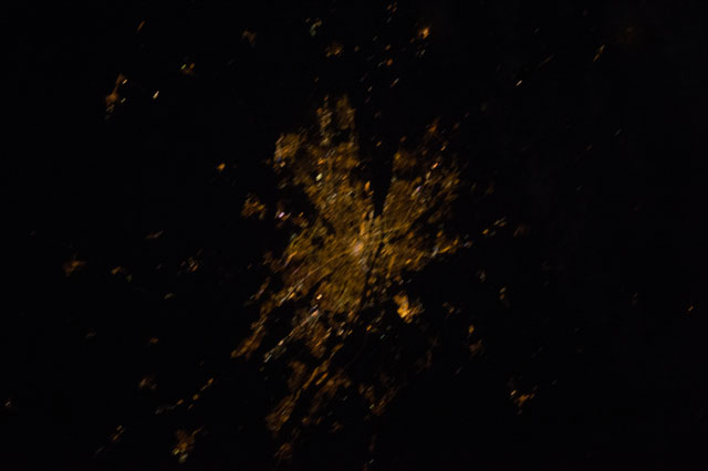
Night
Help us locate the night from orbit.
Help map Earth's lights from space and combat light pollution
Our Mission
This application is designed to help georeference images taken by astronauts aboard the International Space Station (ISS). The goal is to create a global map of Earth's lights at night to measure and track light pollution. By accurately aligning images with geographical coordinates, the app contributes to valuable environmental data collection, which can be used for scientific research, monitoring light pollution, and understanding its impact on ecosystems and human health.
Georeference Images
Help align ISS night images with precise geographic coordinates
Map Light Pollution
Contribute to a global database of nighttime light patterns
Support Research
Enable scientific studies on light pollution's environmental impact
Available Batches
Select a specific batch of images to work with
Project Statistics
Global impact of our community's contributions
Contact Us
Have questions about Lost at Night? We'd love to hear from you!